
Snow Levels Fall Today, More Snow Expected Into Friday Morning
/
Expected Snowfall - Official NWS Forecast
Valid from 4:00 AM 2/14/19 to 4:00 AM 2/17/19 - https://www.weather.gov/mfr//winter
Snow levels are lowering again, expect more travel difficulties for the major passes. Overall snow amounts are expected to be less than what occurred Tuesday night. Showers will continue through the weekend, and snow levels will be low enough to affect all area passes, and possibly even west side valley floors.
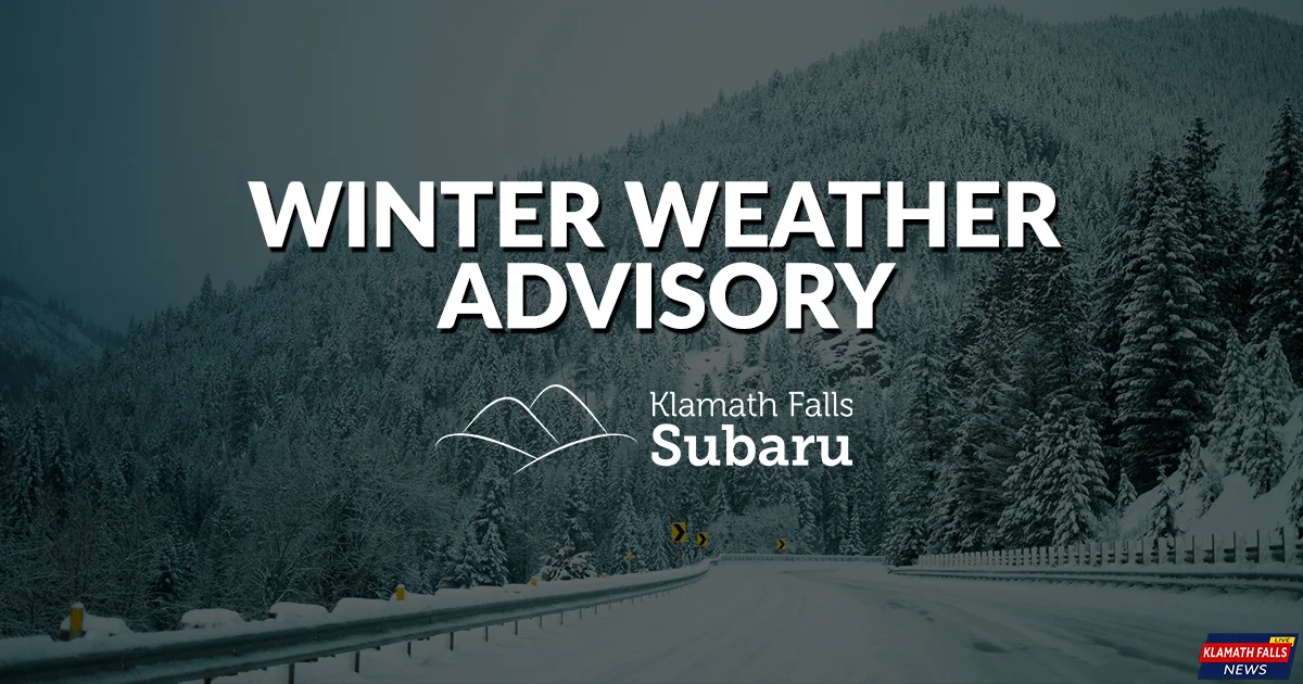
Winter Weather Advisory
Snow expected. Total snow accumulations of 2 to 4 inches expected. Winds gusting as high as 45 mph.
Plan on slippery road conditions. The hazardous conditions could impact the morning or evening commute. Gusty winds could bring down tree branches and reduced visibility.
LOCATION
Klamath Basin and Northern and Eastern Klamath County and Western Lake County to include Highway 97 from Modoc Point north to Chemult, and Bly Mountain on Highway 140.
WHEN
From 4 PM this afternoon to 10 AM PST Friday.
Be sure to check road conditions and the forecast before venturing out! If you must travel during this time, be sure to carry an emergency travel kit with you. This travel kit should include: blankets, food, water, fully charged cell phone, chains, and any necessary medications.

The 2019 Winter Weather Alerts are brought to you by Klamath Falls Subaru.
Simple. Honest. Awesome.
Shop online at KlamathFallsSubaru.com