
Winter Weather Advisory Remains in Effect until 10PM Tonight
/
WINTER WEATHER ADVISORY REMAINS IN EFFECT UNTIL 10 PM PST THIS EVENING
Snow occurring. Plan on difficult travel conditions,including during the morning commute. Additional snow accumulations of 3 to 9 inches, with localized amounts up to 12 inches, are expected today.
Located in the South Central Oregon Cascades, Siskiyou Mountains and Southern Oregon Cascades, Klamath Basin and Northern and Eastern Klamath County and Western Lake County. This includes of Prospect, Union Creek, Toketee Falls, Chiloquin, Chemult, Diamond Lake, Howard Prairie, and Crater Lake. Area roads will be impacted including Highways 230, 138, 140, and Dead Indian Memorial Rd in the Cascades as well as the Mount Ashland ski road. Occasional moderate to heavy snow showers are also expected today at Siskiyou Summit on Interstate 5.
Until 10 PM. The heaviest snowfall rates will occur until 10 AM this morning. Another round of moderate to locally heavy snow showers is expected late this afternoon into this evening.
Look for reduced visibilities at times.
View the hazard area in detail athttps://www.wrh.noaa.gov/mfr/HAZARD
Slow down and allow extra time to reach your destination. Carry tire chains and be prepared for snow covered roads and limited visibilities. See https://www.tripcheck.com for latest road conditions. A Winter Weather Advisory for snow means that periods of snow will cause travel difficulties.
Affected Area(s): Klamath Basin; Northern and Eastern Klamath County and Western Lake County; Siskiyou Mountains and Southern Oregon Cascades; South Central Oregon Cascades
Issued: Thu Jan 25, 2018 8:58 AM PST
Effective:Thu Jan 25, 2018 8:58 AM PST
Expires:Thu Jan 25, 2018 10:00 PM PST
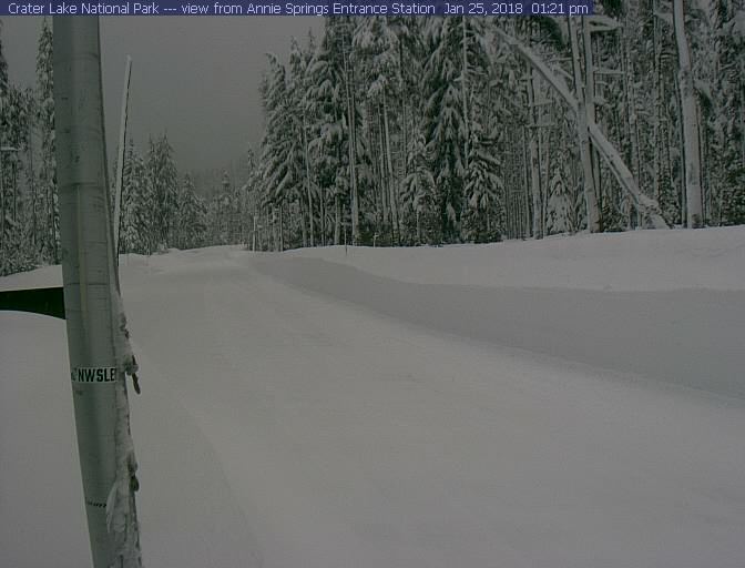
Current look on the Mountain Roadways


This weather advisory is brought to you by Excel Auto Body, your trusted source for auto body repair in Klamath Falls. "Your Vehicle, Our Reputation."