
Klamath County flood maps updated
/

The following is a press release from the City of Klamath Falls
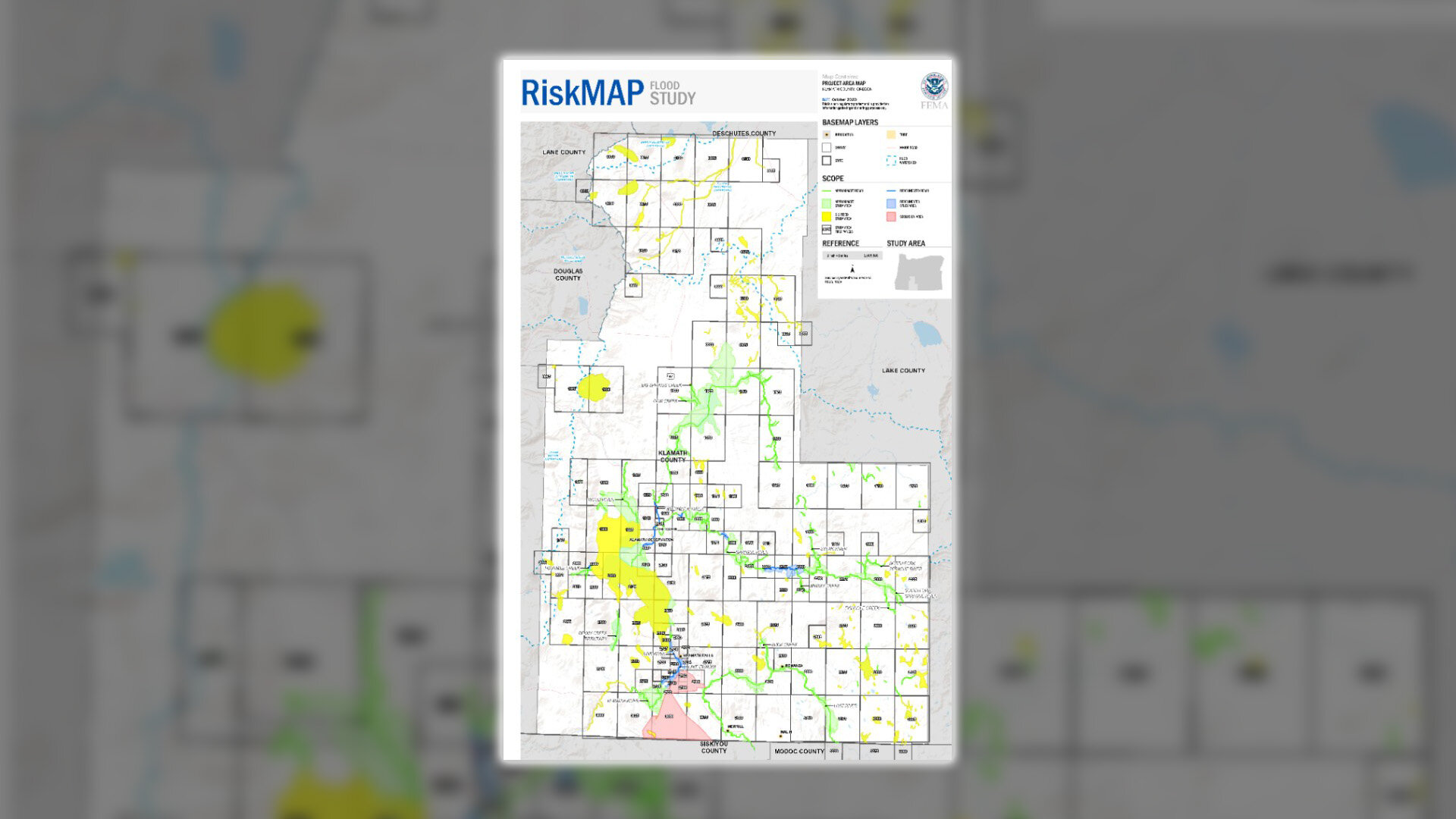
KLAMATH FALLS, OR – FEMA in cooperation with the state of Oregon, Klamath County, tribes, and local communities, has updated flood maps to more accurately represent the risk of flooding in Klamath County.
To help inform the community, FEMA has developed a virtual StoryMap for residents to visit online to learn more about what these flood maps mean. You can view the StoryMap by visiting: bit.ly/klamathstorymap.
Via the StoryMap, property owners and community residents can learn about the flood mapping process, what the changes mean for them, and information about the National Flood Insurance Program. Residents can also find direct contact information should they need additional support.
The City of Klamath Falls encourages community members to visit the website, learn more about their flood risk, and ask additional questions via the contact information provided on the website. The maps can be previewed directly at bit.ly/klamathmapcomparison, or a custom flood map may be requested by emailing PropertyIDMap@starr-team.com.
Find more information on flooding and flood safety at https://www.klamathcounty.org/810/Floods and see complete FEMA flood zone definitions at www.klamathfalls.city.