Van Meter Fire currently burning on Stukel Mountain [UPDATED]
/
UPDATE 11:27 PM, 9/7/22
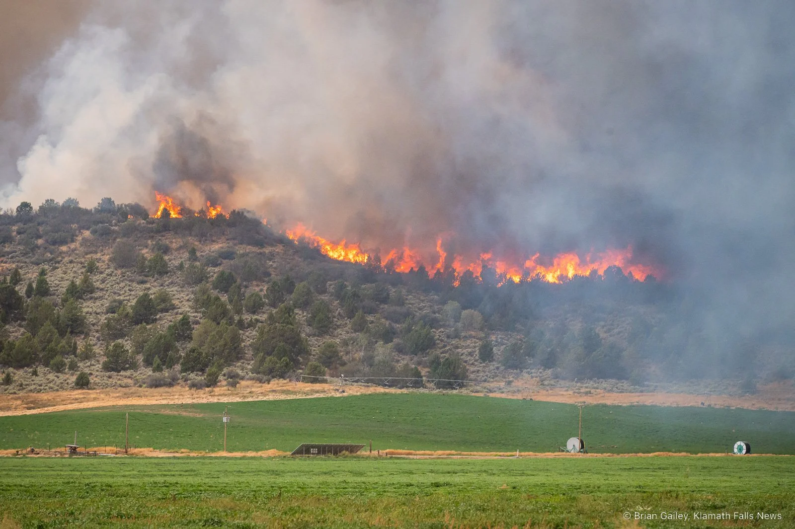
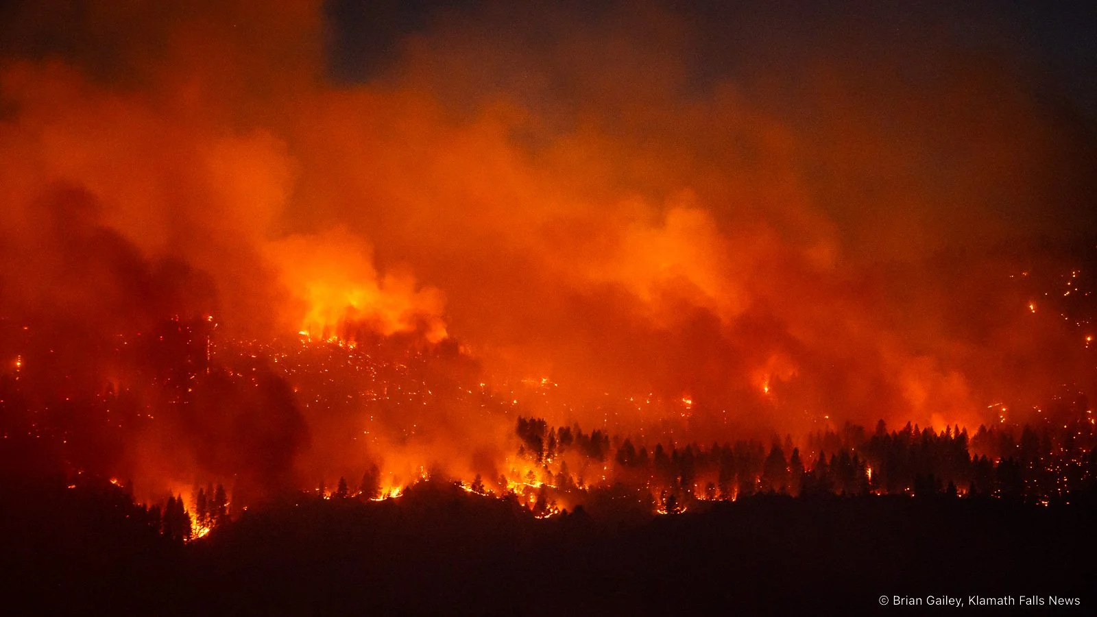
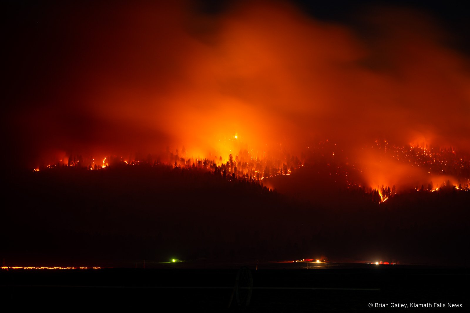
Size: 1,500 - 2,000 acres (estimated)
Containment: n/a
Structures Threatened: 260
Structures Destroyed: 5
“[At this time] the fire looks like it is moving toward the Dodds Hollow area,” said KCFD1 Fire Chief Greg Davis. “We are going to continue to have structure protection here until the threat is gone. It could last a few days, the weather is going to have a lot to do with that.”
A total of 260 structures are threatened by the Van Meter Fire. Five structures have been confirmed lost to the blaze; one of which is a residence. All structures damaged are located on S. Poe Valley Road south of Beta Lane.
Fire crews will be working overnight to protect homes along the entirety of the fire’s eastern and western flanks. Three Structural Task Forces from the Oregon State Fire Marshals Office have arrived from across the state. The units from Deschutes, Jackson, and Lake Counties are relieving local firefighters for night operations.
“These resources will allow our local firefighters the opportunity to bed down for the night and get some rest,” said Chief Davis. “We are going to keep the extra task forces on the fire overnight and we will bring back our local resources in the morning.”
If needed, the teams from Deschutes and Jackson will remain on the fire for 72-hours.
Chief Davis added, “Throughout the night we are going to keep a few resources off the northern end of S. Poe Valley Road with additional resources along Webber Road to make sure we are taking care of those structures.”
Currently, the incident is under joint command between Klamath County Fire District 1, the Oregon Department of Forestry, Bureau of Land Management, and Malin Fire. An ODF Type 3 Incident Command team has been ordered and should arrive and assume command by mid-afternoon tomorrow (9/8/22).
Additional photos have been added at the bottom of the article. Additional videos have been posted to the Klamath Falls News Facebook page.
Please note: this is a quickly changing and developing story, follow Klamath Falls News and Cascade Firewatch on Facebook and on our websites www.KlamathFallsNews.org and www.CascadeFirewatch.com for the latest information on the Van Meter Fire.
++++++++++++++++++++++++++
ORIGINAL, 4:53 PM, 9/7/22
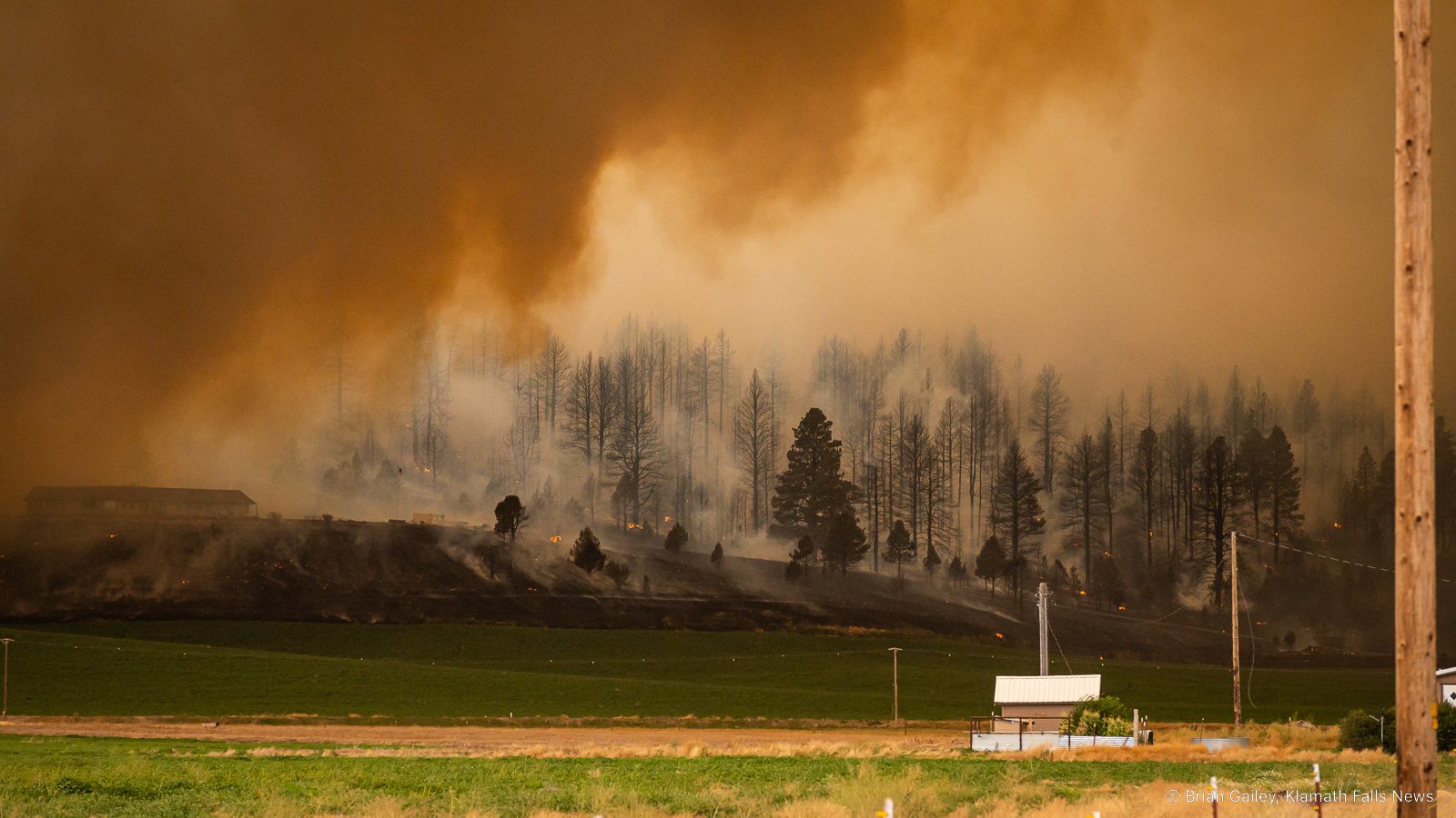
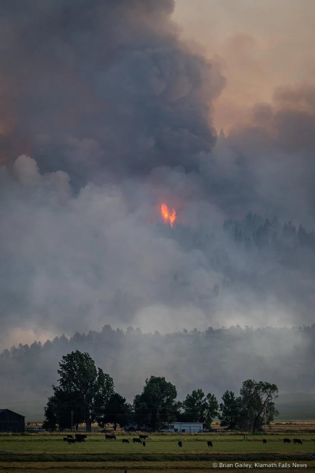
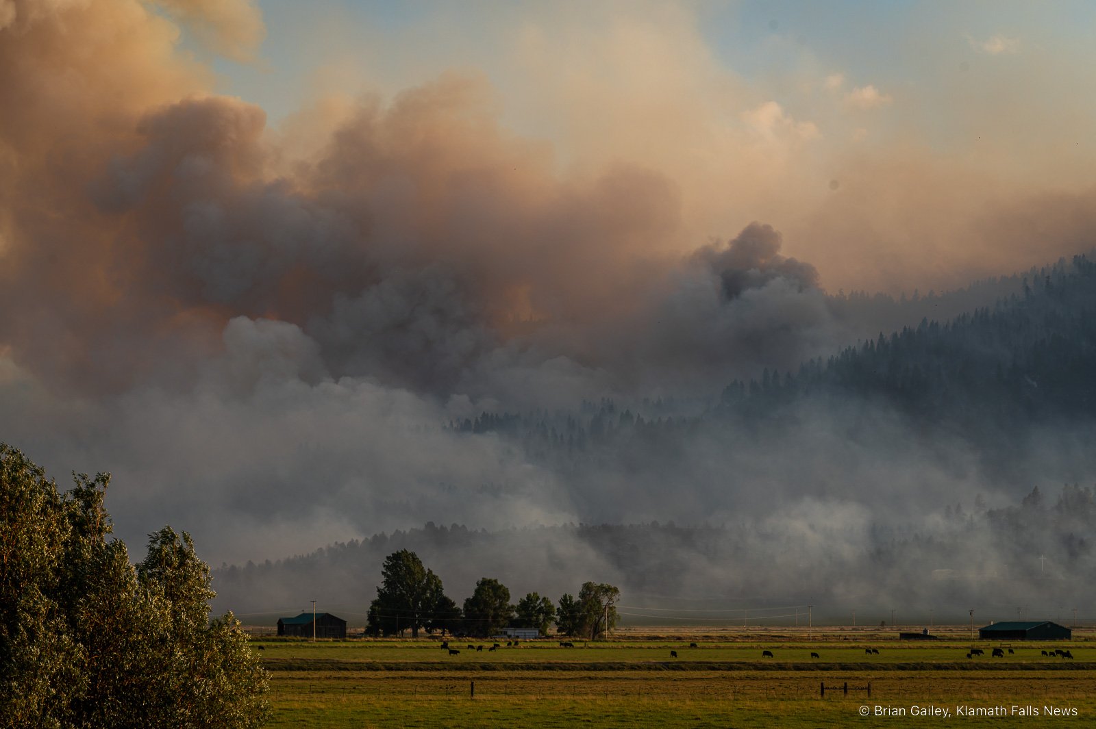
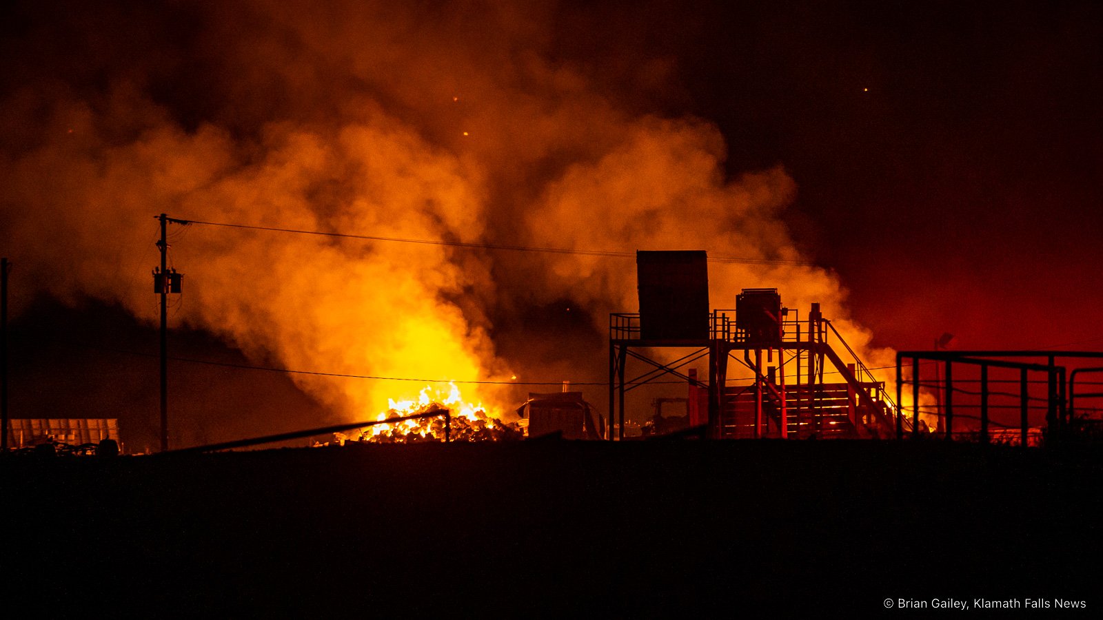
Smoke and burned trees from the Van Meter Fire burning east of Klamath Falls near South Poe Valley Road. (Image: Brian Gailey, Klamath Falls News)
Arial view of the Van Meter Fire burning on the east side of Stukel Mountain in Klamath County (submitted photo)
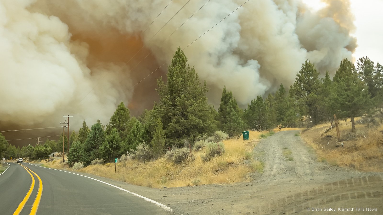
KLAMATH FALLS, Ore. - The Van Meter fire is currently burning on Stukel Mountain just southeast of Klamath Falls. The fire was reported this afternoon at 12:24 PM.
The fire is burning on Bureau of Land Management (BLM) Lakeview District and the Oregon Department of Forestry (ODF) protected lands. It is currently estimated to be 800-1,000 acres and spreading rapidly. The cause is under investigation. Lightning was observed in the area late this morning.
The following evacuations are in effect.
Level 3 (Go): Crystal Springs Rd east of Hill Rd. South Poe Valley Rd from Crystal Springs Rd to Weber Rd.
Level 1 (Ready): Harpold Rd west to Hill Rd. North of Taylor Rd, just north of the town Merrill.
Currently, the fire is under unified command between the Oregon Department of Forestry, Klamath County Sheriff’s office, and Klamath County Fire District 1.
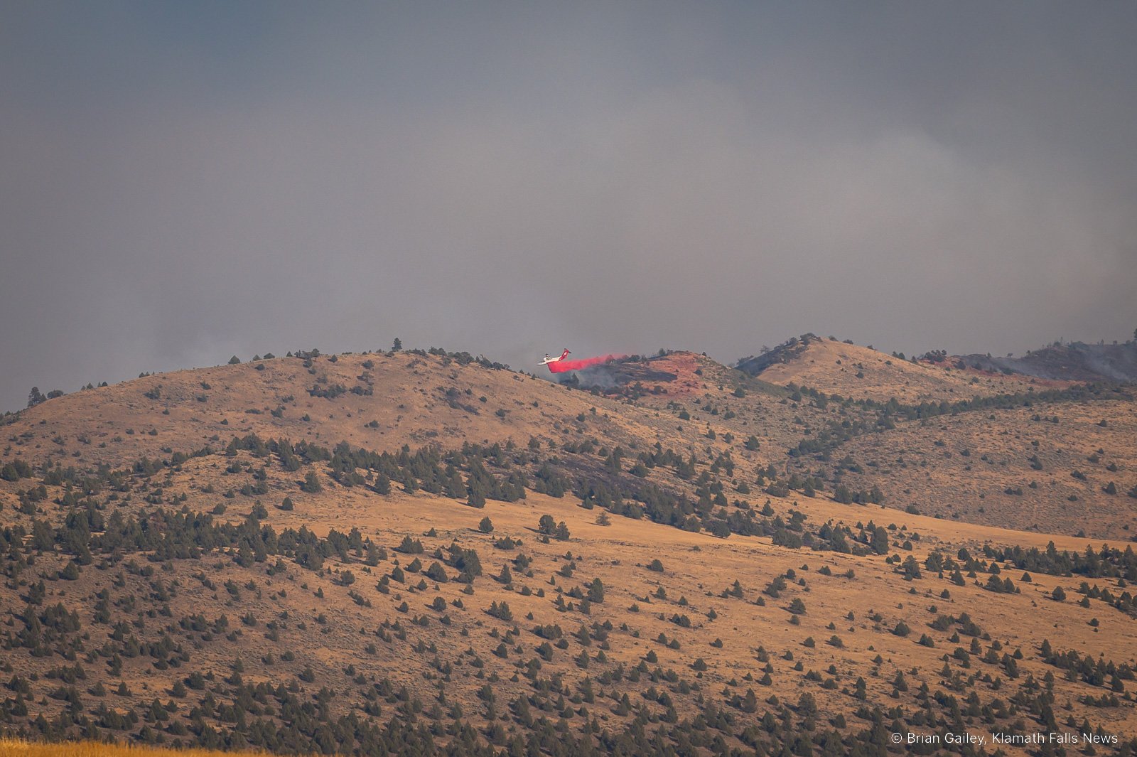
There are multiple ground and air resources currently on the fire. The public is asked to stay away from the fire area for safety reasons.
A local type 3 Incident Management team is currently being ordered to take command of the fire.
This is a rapidly developing situation, KFN will provide updates as they become available.
Map below is an approximate location of the fire.
Additional Photos


Arial reconnaissance flight traffic of N905AK at 4:48 PM over the Van Meter Fire in Klamath County. (FlightRadar24.com)
CASCADE FIREWATCH IS SPONSORED BY